GeoMeasure Area Calculator: The Smart Way to Measure Land with GPS and Camera
In today’s digital world, measuring land no longer requires traditional tools like measuring tapes or manual calculations. Anyone can use a smartphone to determine the size of a piece of land thanks to modern technology. Tools like the GeoMeasure Area Calculator make land measurement online easier, faster, and more accurate.
Whether you are a farmer, real estate agent, surveyor, or landowner, a land measurement app powered by GPS and camera technology can simplify the entire process.
In this blog, we will explore how tools like GeoMeasure help users measure land area, distance, and even height using their mobile devices.
What is the GeoMeasure Area Calculator?
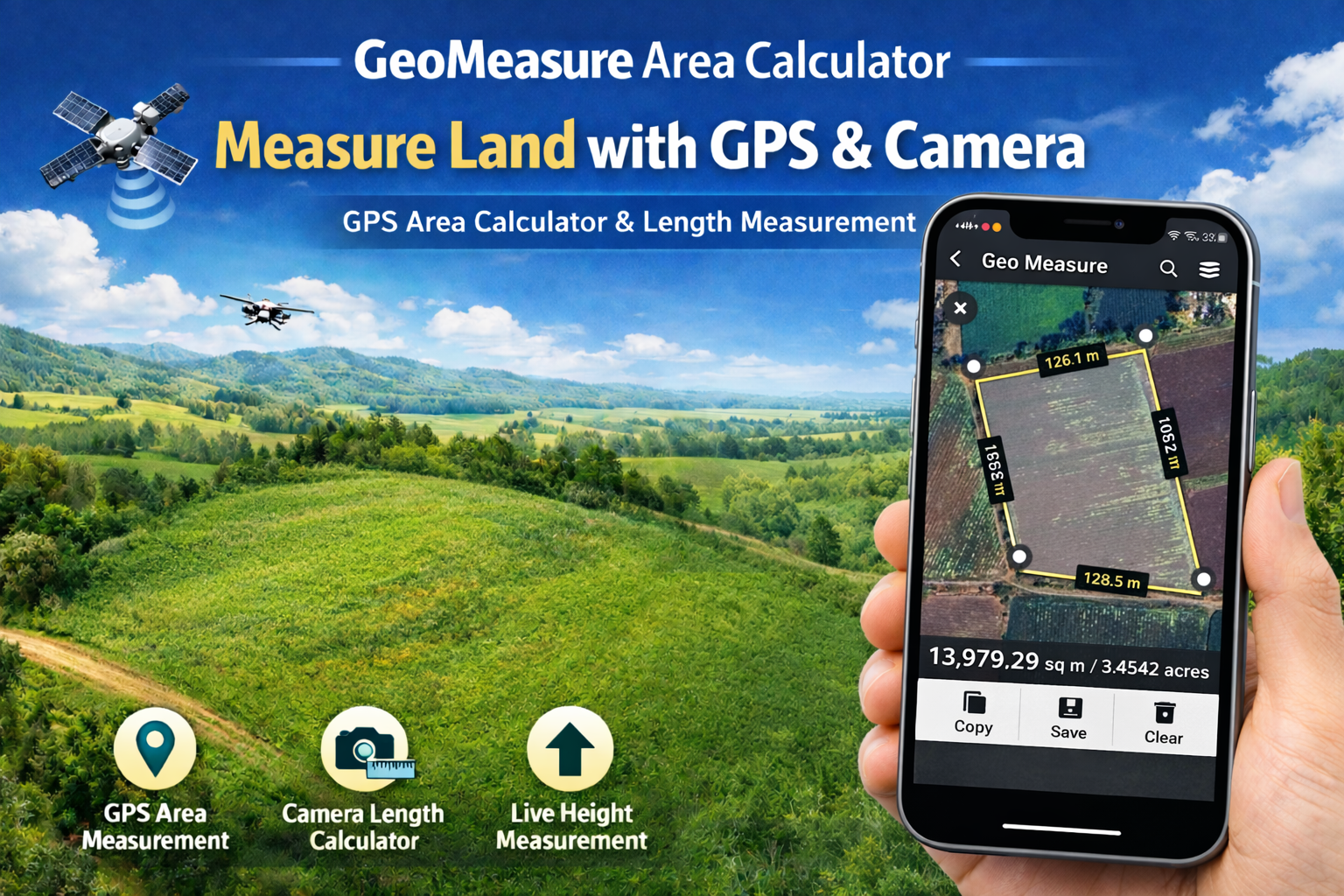
The GeoMeasure Area Calculator is a powerful mobile tool designed to measure land area and distance using GPS technology. Instead of manually calculating land size, users can mark points on a map or walk around the boundary of a property to get accurate measurements instantly.
This modern GPS area calculator is widely used for:
-
Agricultural land measurement
-
Property boundary measurement
-
Real estate planning
-
Construction site calculations
-
Field area estimation
With the help of satellite maps and GPS, users can perform online land measurement directly from their smartphones.
Why Use a Land Measurement App?
Traditional land measurement methods can be time-consuming and inaccurate. A land measurement app simplifies the process by providing instant results.
Here are some major benefits:
1. Accurate GPS Measurement
A GPS area calculator uses satellite positioning to calculate the exact area of land. This reduces manual errors and improves accuracy.
2. Quick Land Measurement
With tools like GeoMeasure, you can measure land within seconds by marking points on the map.
3. Easy Online Land Measurement
Users can perform land measurement online using satellite maps without physically visiting the location.
4. Multiple Measurement Units
Most apps support different units, like
-
Square meters
-
Acres
-
Hectares
-
Square feet
This makes the online land measurement process convenient for users worldwide.
Calculate Length Using the Camera
One of the most advanced features of modern measurement apps is the ability to calculate length using the camera.
Using AR (augmented reality) technology, users can measure real-world objects through their phone cameras.
This feature allows users to:
-
Measure object length
-
Estimate furniture dimensions
-
Measure walls and structures
-
Calculate distances indoors
A length calculator by camera works by detecting surfaces and estimating distances using the phone's sensors.
Live Height Measurement Using Camera
Another innovative feature is live height measurement.
With a smartphone camera, users can measure the height of objects like:
-
Trees
-
Buildings
-
Walls
-
Poles
-
Structures
The live height measurement feature calculates height using camera angles and distance estimation.
This is extremely helpful for construction planning and field measurements.
GPS Area Calculator for Land Measurement
The GPS area calculator is one of the most useful tools for outdoor land measurement.
Here’s how it works:
-
Open the land measurement app.
-
Enable GPS location.
-
Walk around the land boundary or mark points on the map.
-
The app automatically calculates the area.
Within seconds, the app will display the total land area.
This makes online land measurement easy for farmers, surveyors, and property owners.
Who Can Use GeoMeasure?
The GeoMeasure Area Calculator is useful for many industries.
Farmers
Farmers can measure field size and plan crops efficiently using a GPS area calculator.
Real Estate Professionals
Real estate agents can measure plots before buying or selling land.
Land Surveyors
Surveyors can perform quick online land measurement using satellite maps.
Construction Professionals
Builders can calculate land size, distances, and object heights using a length calculator by camera.
Key Features of GeoMeasure Area Calculator
Here are some important features that make GeoMeasure a powerful land measurement app:
-
GPS-based land area calculation
-
Online land measurement using maps
-
Distance measurement between points
-
Calculate length using the camera
-
Live height measurement for objects
-
Support for multiple measurement units
-
Easy and user-friendly interface
These features make GeoMeasure one of the most efficient GPS area calculator tools available today.
The Future of Land Measurement
Technology is transforming the way we measure land. Instead of complex equipment, smartphones now offer powerful tools for land measurement online.
With features like:
-
GPS tracking
-
Camera-based measurement
-
AR distance calculation
-
Satellite map integration
Apps like GeoMeasure Area Calculator are making land measurement smarter and more accessible.
Conclusion
The GeoMeasure Area Calculator is a modern solution for accurate and efficient land measurement. Whether you need a GPS area calculator, a length calculator by camera, or tools for online land measurement, this technology simplifies the entire process.
From farmers and landowners to real estate professionals, anyone can now measure land, distance, and height directly from their smartphone.
With features like live height measurement, calculating length using the camera, and GPS-based calculations, GeoMeasure is redefining the future of digital land measurement.


