Geo Measure Area Calculator Tutorial
this app is helpful for farmers, farm management, town planners, construction surveyors, land-based surveys, farm fencing, etc.

As a tool for measuring on maps, the Geo Measure Area Calculator app is helpful. It is beneficial for outdoor activities, with applications involving a range of marathons. It is useful as a golf distance meter when exploring the golf course. Additionally, it is useful for field pasture area measurement and land surveys.
This app is useful for planning farm and garden work and is excellent for keeping track of your surroundings. It is excellent for agricultural and construction fencing. This application is useful for the installation of solar panels, calculating the size of a roof, or organising travel. The most accurate measuring app is this one.
It is helpful for farmers as well as those who build roads, buildings, and roofs. Those who are tilling, planting, fertilising, or harvesting farms. It is beneficial for traveling, biking, and trip preparation. It is the best app for growing gardens, paddocks, grass, or lawns.
Additionally, this app is helpful for farmers, farm management, town planners, construction surveyors, land-based surveys, farm fencing, etc. The Apple App Store and Google Play both have this fantastic app. Download now.
Step 1:
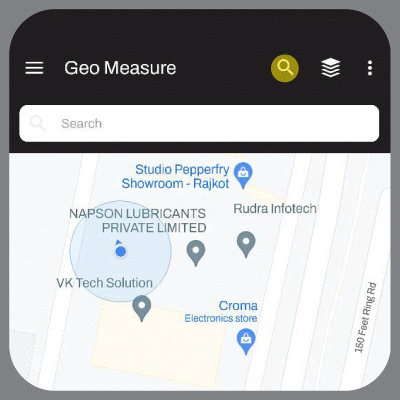
Find a location by browsing the map or
typing in the location address in the search box.
Step 2:
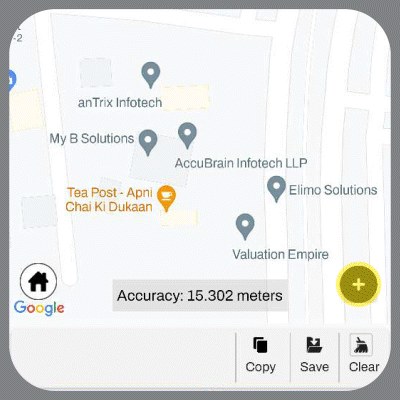
Press on ‘+’ icon that you can see in the
bottom right corner of the screen
Step 3:
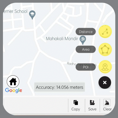
Choose what you want to measure.
(Area & Distance) or you can also
find your own POI
Step 4:
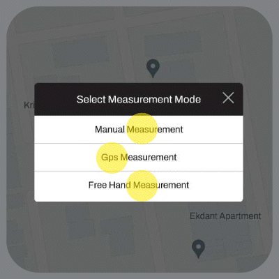
Choose a measuring mode. Manual mode lets you measure land remotely using your finger to make points. In GPS mode, you can measure your land by walking around the property using GPS. To learn more about GPS measuring: https://bit.ly/3evXcdN
Step 5:
To make points, lightly tap the screen with your finger.
You must present three points at the very least.
By taping a point on your measurement shape,
you can edit the shape by moving the marked point.
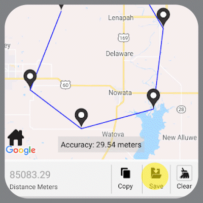
Step 6:
Click the save button and you are done.
WHAT ARE THE BENEFITS OF USING A GEO MEASURE AREA APP?
• STAY IN TOUCH WITH YOUR COLLEAGUES: Share measurements and updates in .kml, .kmz, or Esri Shapefiles with your friends or coworkers. Maintain connections with communities that are important to you by importing and exporting shared files.
• CONVENIENT MARKING: Select whether you want to manually mark your points or use a GPS mode to do so. Just a few button clicks from more accurate marking.
• SAVE MONEY: convenient tool straight in your mobile app, avoid buying the field measurement equipment, and save thousands.
HOW TO FULLY OPERATE THE APP?
With the help of the app, you can measure the fields and the size of the property to establish the property lines. Explore and mark the key locations in your area of expertise, personalize the data, and ensure that the tool you use for your measurements is simple to use.
The most important app in your work, especially if you are a farmer or an agronomist, if you need to do land surveying or to create a geodesic line.
Measuring your fields was never so easy!


