How Do I Measure My Land?
Following Apps gives you the measurement accurate and precise.
This current system is for measuring land, area, or fields, calculating perimeter and length, and creating a map based on this information. This technology can save your measurements for future work or be used by someone else. Knowing the true size of cultivated land is critical for farmers, as inaccurate data can distort crop yields, complicate the maintenance of cadastral records, fieldwork planning, and so on, resulting in unnecessary costs for "non-existent hectares" and causing issues when using precision farming tools.
When it comes to measuring a land plot, area, construction site, or farmland. Geo Measure Area Calculator is a free app that allows you to evaluate your fields as your need. Measure the distance, perimeter, or area and share it with your colleagues straight away! These can give you the measurement accurate and precise.
What is the Best App for Measure Land?
- Geo Measure Area Calculator
- GPS Fields Area Measure.
- Simple GPS Survey.
- Land Calculator: Survey Area, Perimeter, Distance.
- Geo Measure Area Calculator.
- GPS area measure – land survey.
- Map Pad GPS Land Surveys & Measurements.
- Land Surveyor.
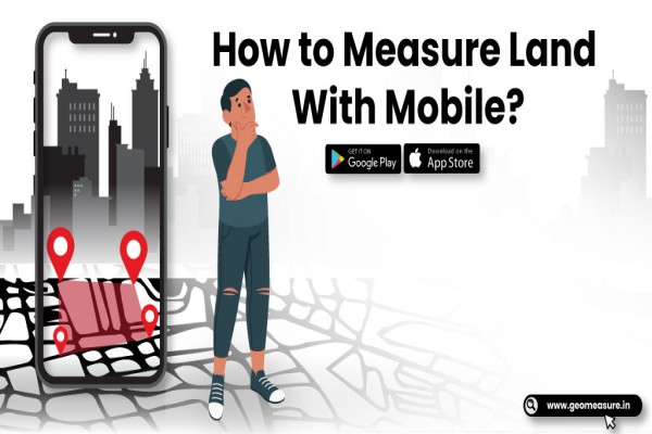
How Do You Measure Your Land with Mobile?
- Open Geo Measure App
- Add markers (pin) on MAP for the area which you want to measure.
- Delete marker placed by mistake.
- Stretch, drag, and pull down a marker to place a marker at the perfect place.
- Instant measurement / instant calculation.
- Save again any calculated area so you don't need to do the same job again.
- Load / Delete already measured / calculated area.
- Select the diff type of MAP views.
- Share your suggestions to improve or add a new feature.
- Calculate Distance and Area.
- Now you can save the calculated distances list.
- Now you can save the calculated area list.
- Facility to export KML files and share.
- Import KML format SD card.
Is there any app that Measures Land Easily?
Yes, The Geo Measure Area Calculator is a fantastic GPS Field Area Map Measurement tool. The top GPS and land surveying apps are listed here. These programs can be used to measure farms, and Google Maps can quickly calculate distance. This tool also makes it simple to check local conversation, units, and conversions.
Best App for GPS Land Surveying
Every farm owner determines the optimum method for measuring the area of a field that requires the least amount of time and effort. They all have distinct needs depending on where they live. You must utilize a distinct third-party app for each platform when the final data is in a different format. A shapefile is the most frequent file format. You may measure farms and other areas with the Geo Measure Area Calculator. A KML file can also be used to export your measurements. You are free to use this KML file whenever you wish. All you have to do now is import a KML file.
Check out this video to learn how to measure your land in a few easy steps.
Popular Articles To Read
| Geo Measure Area Calculator - Area Measured By Drawing Custom Path
| Augmented Reality (AR) - A Game Changer For Mobile Apps in 2021
| Measure Your Land In One Minute
| Top Augmented Reality App Development Company In Rajkot, Gujarat, India


