How to Measure Land Area Using GPS: Easy Online Method with GeoMeasure
Measuring land area accurately is essential for farmers, property owners, engineers, and real estate professionals. Traditionally, this has required expensive tools or expert surveyors. But now, you can measure land area and distance easily using GPS all online with GeoMeasure. In this guide, we’ll show you step-by-step how it works, why it’s accurate, and how to get the most from this powerful tool.
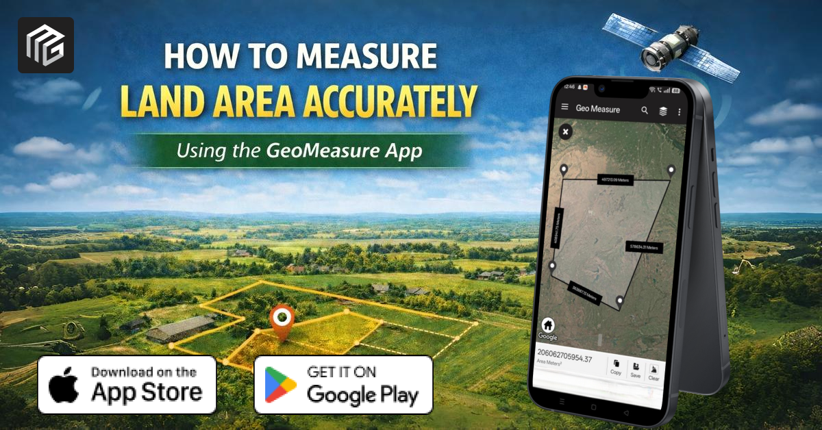
What Is GeoMeasure?
GeoMeasure is a free, web-based GPS land area and distance measurement tool that lets you measure land size, boundaries, and distances using your phone or computer. With just a few clicks, you can mark the edges of any plot on the map and get instant results without complicated surveying equipment.
Key Benefits:
-
Accurate land and distance measurements
-
GPS-based and manual map point tools
-
Works on desktop and mobile
-
Multiple units (meters, feet, acres, hectares)
Why Use GPS to Measure Land Area?
GPS (Global Positioning System) is now widely available on smartphones and devices. Using GPS for land measurement has major advantages:
- Real-time accuracy: GPS gives accurate measurements as you walk the boundary of a plot.
- No surveying tools needed: Just your phone and GeoMeasure.
- Fast results: Instant calculation of area and distance.
- Convenient: Works anywhere with a GPS signal.
Using GPS eliminates guesswork and gives reliable results for planning, reporting, or documentation.
Step-by-Step Guide: How to Measure Land Area Using GPS
Here’s the simplest way to measure land area using GeoMeasure:
1. Open the GeoMeasure tool.
Go to https://geomeasure.in/ in your browser (desktop or mobile).
2. Select Measurement Type
Choose whether you want to measure area or distance.
3. Start GPS Tracking
-
Allow the site to access your GPS
-
Walk the perimeter of your land
-
Points will auto-connect as you move
The tool uses your GPS points to calculate area and distance in real time.
4. Review the Results
Once you finish, GeoMeasure shows the following:
-
Total area
-
Total distance
-
Coordinates of each point
5. Export or Save (Optional)
Save results in formats like KML or CSV, or share them with others.
What Can You Measure With GeoMeasure?
GeoMeasure is versatile and perfect for:
-
Agricultural fields
-
Residential plots
-
Commercial real estate
-
Construction sites
-
Sports fields
-
Hiking trails and outdoor routes
Whether you need measurements for legal records, planning purposes, or estimating distances, GeoMeasure handles it all efficiently.
Units & Output Formats
GeoMeasure supports multiple area and distance units.
- Square meters
- Square feet
- Acres
- Hectares
- Kilometers
- Miles
This makes your measurements easy to interpret and use across different industries.
Tips for Best GPS Measurement Accuracy
To ensure maximum accuracy:
-
Use the tool on a clear day with strong GPS reception
-
Walk slowly around the perimeter
-
Minimize tall buildings or tree cover interference
Use the manual point placement option if GPS signals are weak
Why GeoMeasure Is Better Than Traditional Tools
| Feature | Traditional Tools | GeoMeasure |
|---|---|---|
| Cost | High (equipment & expert fees) | Free |
| Ease of Use | Complex | Very Simple |
| Device Needed | Specialized tools | Smartphone/PC |
| Speed | Slow | Instant |
GeoMeasure brings professional-level measurement to anyone, without extra costs.
Frequently Asked Questions (FAQ)
Q: Can I measure irregular plot shapes?
Yes, GeoMeasure lets you place many points to outline any shape.
Q: Is it accurate?
GPS measurement accuracy is high and suitable for most practical measurement needs.
Fast, Simple, Accurate Land Measurement
Measuring land area using GPS has never been easier. With GeoMeasure, you can:
- Measure plots in minutes
- Get accurate area and distance.
- Export results for reports
- Use it anywhere, anytime
Start measuring land easily; visit https://geomeasure.in/ and try it now!