Why Geo Measure Is Better Than Other App?
Here is the reason behind why Geo Measure is better than other apps
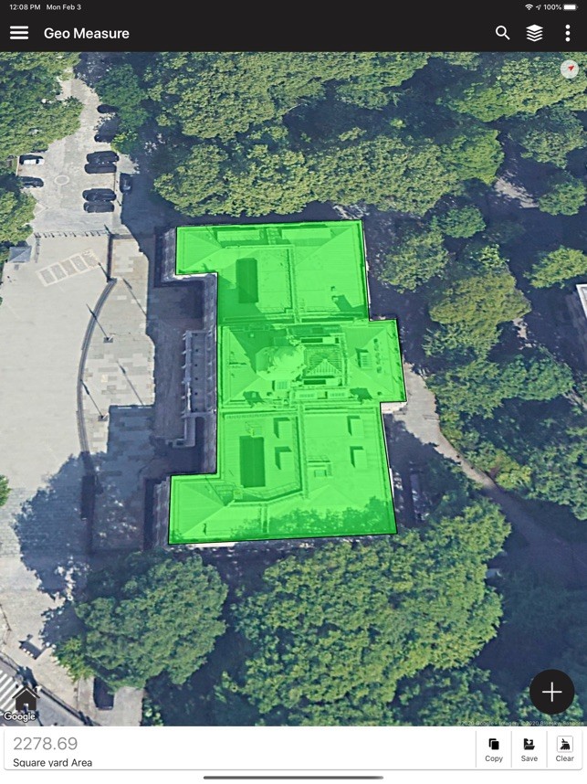
Geo Measure is Easy to use and useful app for area and distance measurement.
This tool is helping millions of people to measure their fields, mark their needed points, and sharing their measured maps with their colleagues. So don't waste your time searching for the best free app to measure area, and distance - choose our app and simplify the measuring proces
Here are the unique features of the Geo Measure Area Calculator
- Add markers on MAP for the area which you want to measure.
- Delete marker place by mistake.
- Drag and Drop marker to place a marker at the perfect place.
- Instant measurement / instant calculation.
- Save again any calculate area so don't need to do the same job again.
- Load / Delete already measured / calculated area.
- Select different types of MAP view.
- Share with friends.
- Share your suggestion to improve or add a new feature.
- Calculate Distance and Area both.
- Now you can save calculated distances and area lists.
- Updated new UI easy to use.
- Facility to export KML file and share.
- Import KML from SD card.
- Open any KML file using the "Geo Measure Area Calculator" app.
You can get so many features compared to other apps, everything in one place. So that we can say that a Geo Measure is better than other apps.
Download it and start measuring your fields today!
Geo Measure is also useful as a map measurement tool for outdoor activities, range finder applications, and sports such as biking or marathon. Comes in handy when exploring golf area or as a golf distance meter, convenient for land surveys, practical for field pasture area measure, helpful in garden and farm work or planning, great to keep area records. It’s great for constructions and agricultural fencing. This application is practical even for solar panel installation, roof area estimation, or trip planning.
Our measuring app has the highest accuracy in the market, that being the main reason why we are the leading measuring app in construction sites, building and farm contractors, and farmers.
Among our users are people constructing roofs, buildings, and roads, farm owners who are spraying, fertilizing, seeding, harvesting farms, or tilling. It’s helpful for biking, traveling, or planning trips. For growing gardens and paddock, grass or lawn – we are the number one choice.
Including people who are farming beef, pork, or poultry – the application comes in handy for fence measuring and planning. Pilots can also use this app while flying in the fields. Farm managers and contractors who are exploiting agricultural work for farmers can use this app to count the amount of planted fields and share them with the owner. The fields are displayed in Google Maps.
It's a great tool for paddock calculation and measuring.
This is the best solution for farm owners who grow wheat, corn, rapeseed, maize, sugar beet and need to measure the planted area annually.
All in all, it is useful for:
- Farmers, for farm management
- Agronomists
- Town planners
- Construction surveyor
- Landscape artists
- Land-based surveys
- Land record management
- Construction surveys
- Health, Education, and facilities mapping
- Farm fencing
- Sports track measurement
- Construction sites and building sites area
- Asset mapping
- Landscape design
- GIS, ArcGIS, ArcMap


