Why Should Android and iPhone Users Use This GPS App?
The Geo Measure Area Calculator is an excellent tool for measuring the size of a GPS field area map.
Nowadays, we all have smartphones that are jam-packed with features. These gadgets have the power to change our lives in so many ways. You can use your smartphone to get a GPS location, a 3D camera, a flashlight, and other functions. Any task may be completed in a matter of seconds with just a few finger motions. You may need a tape measure to measure the distance between two points. There are, however, numerous GPS apps available for Android and iPhone users to easily determine the distance between two sites.
What is GPS?
The Global Positioning System is abbreviated as "GPS." The Global Positioning System (GPS) is a 24-satellite navigation system that employs numerous satellites and signals to determine the receiver's position on the earth. The US Department of Defense develops GPS (Department of Defense). These technologies are employed in the military. Since 1980. When these GPS systems become widely available to customers, they will be found in automobiles, boats, cell phones, mobile gadgets, and even personal head-up displays.
GPS systems work in practically any situation and are accurate to within 3-15 meters, depending on the number of signals received, the distribution of satellites in the sky, and the receiver technology.
In this post, we will discuss the numerous GPS apps that every Android or iPhone user should be aware of. All Android users should be aware of how their phones can be exploited as distance measuring devices. I'll give you an example of how I calculated the distance. You won't even need to bring any external tape with you if you utilize this program.
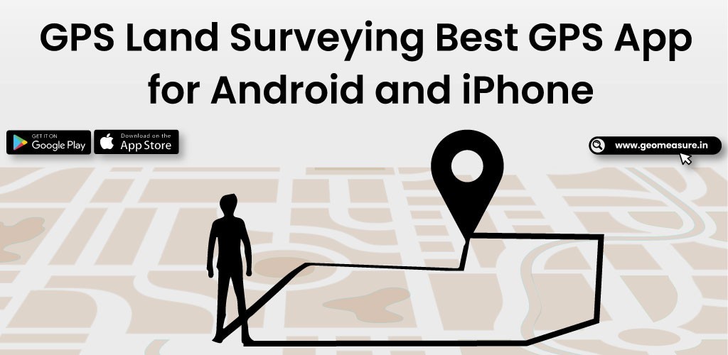
GPS Land Surveying
The Geo Measure Area Calculator is an excellent tool for measuring the size of a GPS field area map. It is quite useful in determining the distance between two sites or cities, and it is quite useful in measuring anywhere when traveling. It's a visually appealing GPS and land surveying app. It's used for farming, and Google Maps instantly measures distance. It also makes examining area conversions, units, and conversions easier. It will provide you with all the instructions you need to know about what to perform and how to compute the distance of the area being measured. No special abilities are required. Anyone with an Android or iOS smartphone can use the software to estimate the distance between two points in a perfect area.
People purchase a property that necessitates the computation of that property. They will find the Geo measure area calculator app particularly useful in calculating the property mapping measure distance. Agriculturalists who have farms and grow wheat, corn, assassin, maize, and sugar beet must perform a lengthy field measurement occupation to ensure that the planted region meets all requirements. Ranchers who oversee ranches, as well as contractual workers who perform agribusiness tasks for agriculturalists, can use this app to examine the total number of fields that have been successfully planted, as well as email each other links that can be opened on Google Maps.
Our measurement app contains all of the mature features that a GPS app should have. By using the app, you can perform land conversion and measurement, GPS navigation accuracy and frequency, area converter, and land distance measurement. It's ideal for calculating land area and square footage. We recently added an elevation chart to our website. These app are available for both Android and iPhone users, or you can directly download them from this link.
If it works as intended, you will really like using our other development, the kml converter, which has more precise and special capabilities for kml files. Visit the blog for additional in-depth details. Users of the iPhone and Android platforms can download the app.
Frequently Asked Questions (FAQ)
What is land surveying?
Land surveying is the process of measuring any land or territory using mobile apps. The calculation must be precise because it affects everyone. It could be your home, a rural project, farmland, road construction, bridge construction, tunnel construction, apartment construction, or highway construction.
Is there any GPS app for land surveying?
Although there are other apps available for Android and iOS users, Geo Measure is the best GPS software for land surveying.
How do you view land surveying data on a map?
You must fill in some information before viewing your land surveying data on a map. See your land data by importing the KML file into a MAP.
You May Also Like:
| What Is The Best Way To Measure How Far You Have Walked?
| Choose The Best iOS Application Development Company To Get the Best Outcome
| Geo Measure Area Calculator - Area Measured By Drawing Custom Path
| Augmented Reality (AR) - A Game Changer For Mobile Apps in 2021
| Measure Your Land In One Minute
| Top Augmented Reality App Development Company In Rajkot, Gujarat, India


