Why This GPS App is Useful for Android & iPhone Users?
All the android users must know how their smartphone is used as a distance measure app
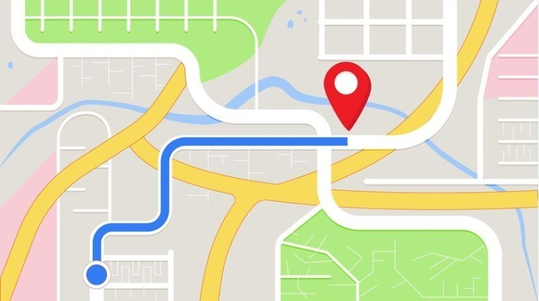
Nowadays we all have smartphones that are filled with a lot of features. These smartphones are able to change so many things in our life. You can use your smartphone in a different way to get a GPS location, 3D Camera, Flashlight, etc. it just takes a couple of a time and fingers movement to complete any task. To measure the distance between two places you might need a Tape to measure. But there are so many GPS Apps available for Android and iPhone users to get a quick distance from one location to another.
What is GPS?
GPS stands for Global Positioning System. GPS is a 24 satellite navigation system that uses multiple satellites and signals that can find the position of the receiver on the earth. GPS is developed by the U.S. DoD (Department of Defense). These technologies are used for military purposes. Since 1980. When these GPS systems are available for consumers they become shown commonly in cars, boats, cell phones, mobile devices, and even in personal Head-up-display glasses.
GPS systems are working in almost every condition and they are accurate to within 3-15 meters, which depends on the number of signals that are received, the spread of the satellites in the sky, and the technologies that are used in the receiver.
In this article, we will let you know that there are so many GPS apps that every Android or iPhone User must have to know. All the android users must know how their smartphone is used as a distance measure app. I will give you the example that I used to measure the distance. With the use of this app, you don’t even need any external; tape with you.
Geo Measure Area Calculator: Land Surveying
The Geo Measure Area Calculator is an excellent GPS field area map measurement tool and app. It helps you greatly in measuring anywhere, while you are traveling somewhere if you want to calculate the distance between two points and cities. It is a bright GPS and land surveying app. It is used to farm and google mapping measures distance quickly. Even, it assists you to check area convert, their units, and conversion in easy.
It will notify you of all the instructions on what and how you can calculate the distance of the area measured. No special skill is needed, anyone with a smartphone mod-post-likes android, and ios can simply use the application and do a perfect area distance measurement and also measure a distance.
Folks buy a property that has a need for calculation of that property. The Geo measure area calculator app will extremely help them in the calculation of that property mapping measure distance. Agriculturalists who have farms and grow wheat, corn, assault, maize, sugar beet and need to do quite a long time field measuring occupation to check planted territory; this is to best fit all needs. Additionally, ranchers who oversee ranch, contractual workers who do agribusiness occupations for agriculturalists can utilize this app to see the total number of fields effectively planted, likewise, they can send to each other connections which can be opened on google maps. Check out these Unexpected Uses of Land Measurement App.
Our measuring app has covered all mature features that should be in a GPS app. As you can also make land conversion and measurement, GPS navigation accuracy and frequency, converter to the area, and land distance measurement by using the app. It can be nicely used in land area and square calculation. Recently we have added an elevation chart feature.
Frequently Asked Question (FAQ)
What is Land Surveying?
Measure any Land or territory using mobile apps that are called land surveying. the calculation should be accurate as it is important for everyone. It could be your property, rural project, farmland, constructing roads, building bridges, tunnels, apartments, and highways.
Is there any GPS App for Land Surveying?
Yes, there are so many apps available for Android and iOS users, when it comes to the best GPS app Geo Measure is the best for Land Surveying.
How to view land surveying data on a Map?
You have to add some information and you can see your Land surveying data on a map. Import the KML file on a MAP and see your Land data.
Popular Articles To Read
| Geo Measure Area Calculator - Area Measured By Drawing Custom Path
| Augmented Reality (AR) - A Game Changer For Mobile Apps in 2021
| Measure Your Land In One Minute
| Top Augmented Reality App Development Company In Rajkot, Gujarat, India
| How To Calculate Area And Distance On A MAP


